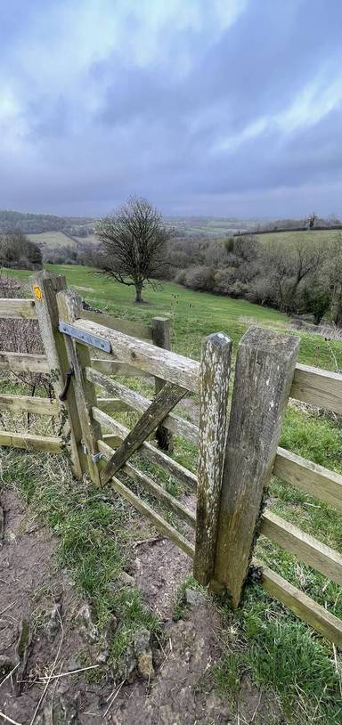
Writhlington Woodland Wander

Walks, England, Somerset, Bath and North East Somerset

Preview Steps

Download the app to get all the steps for this walk.

Map preview for Writhlington Woodland Wander
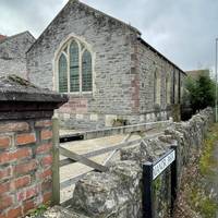
  • The walk starts at the methodist church on Manor Road. The closest bus stop is Writhlington crossroads on the A362, served by the 424.

    Step 1: The walk starts at the methodist church on Manor Road. The closest bus stop is Writhlington crossroads on the A362, served by the 424.

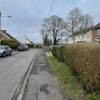
  • Cross Manor Road and turn left along it.

    Step 2: Cross Manor Road and turn left along it.

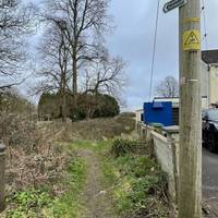
  • After the last house, turn right by a fingerpost sign for a public footpath.

    Step 3: After the last house, turn right by a fingerpost sign for a public footpath.

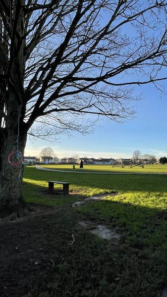
  • Bear diagonally left across the small green space on an obvious trodden grass path.

    Step 4: Bear diagonally left across the small green space on an obvious trodden grass path.

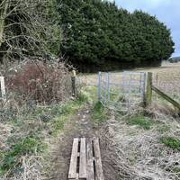
  • Exit the greenspace by a metal kissing gate.

    Step 5: Exit the greenspace by a metal kissing gate.

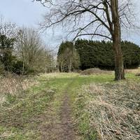
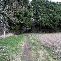
  • Then turn left to walk along the edge of the field, which is used to grow crops.

    Step 6: Then turn left to walk along the edge of the field, which is used to grow crops.

Download the app to get all the steps for this walk.

Nearby Walks

  • Preview of Radstock Greenway Stretcher

    Radstock Greenway Stretcher

    Radstock, Bath and North East Somerset

    by theactiveway

    by theactiveway

    1hr 15m / 2.8km
    A walk along the greenway and then across fields with great views along the way. Some benches en route and break points near the start.
    Wildlife Water feature Great views Public transport Hilly & steep Child friendly
  • Preview of Radstock Greenway Sampler

    Radstock Greenway Sampler

    Radstock, Bath and North East Somerset

    by theactiveway

    by theactiveway

    25 minutes / 1km
    A step-free walk along the greenway. Plenty of benches en route along with public toilets and a kids play park.
    Wildlife Wheel friendly Water feature Public toilets Public transport Child friendly
  • Preview of Westfield Recreation Ground Stroll

    Westfield Recreation Ground Stroll

    Westfield, Bath and North East Somerset

    by theactiveway

    by theactiveway

    20 minutes / 0.9km
    A step-free stroll on tarmac surfaces. Plenty of benches en route and the option to use outdoor gym equipment also. Mostly flat.
    Wheel friendly Picnic spot Parking Dog friendly Child friendly
  • Preview of Westfield Woodland and River Ramble

    Westfield Woodland and River Ramble

    Westfield, Bath and North East Somerset

    by theactiveway

    by theactiveway

    40 minutes / 1km
    A nature-rich walk with riverside and woodland elements and lovely views. This is an off-road walk with some steep sections.
    Water feature Great views Parking Hilly & steep Dog friendly Child friendly
  • Preview of Westfield Nature Dose

    Westfield Nature Dose

    Westfield, Bath and North East Somerset

    by theactiveway

    by theactiveway

    15 minutes / 0.6km
    A short dose of nature with views across Waterside Valley. This is an off-road walk with a slight gradient.
    Wildlife Water feature Great views Parking Dog friendly Child friendly
  • Preview of Waterside Valley Recharge

    Waterside Valley Recharge

    Westfield, Bath and North East Somerset

    by theactiveway

    by theactiveway

    1 hour / 2.3km
    A riverside valley circular walk filled with nature connection. There are steep slopes, river crossings and a church and cemetery en route.
    Wildlife Water feature Great views Hilly & steep Dog friendly Child friendly

Cookie consent

Using our site means you agree to the use of cookies and similar technologies.

Read more and how to disable cookies in our Privacy Policy