Signals and Sightlines: BT Tower

Walks, England, Greater London, City of Westminster

Preview Steps

Download the app to get all the steps for this walk.
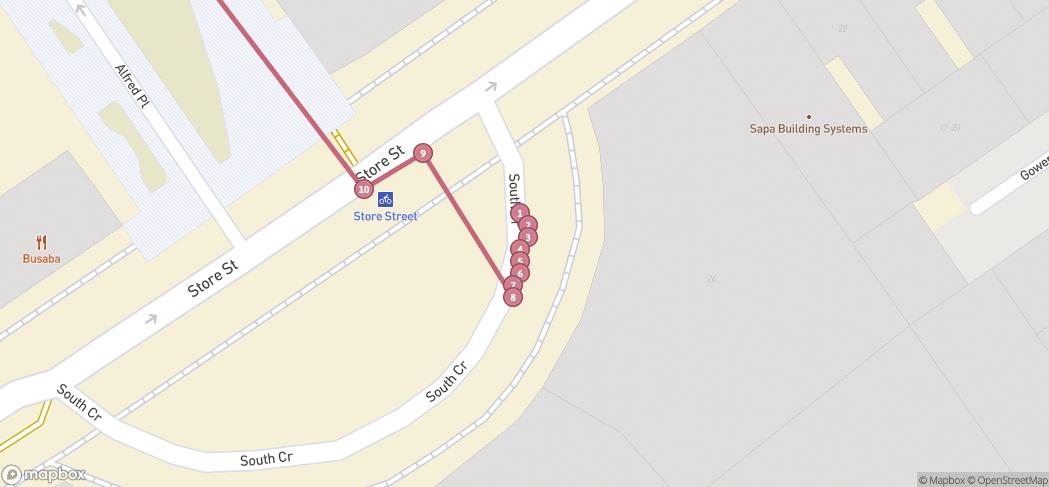
Map preview for Signals and Sightlines: BT Tower
  • Step 1: Signals and Sightlines introduction by London National Park City Ranger Jordan Rowe and cultural historian Dr David Anderson.

  • Step 2: Opened in 1965, the General Post Office (GPO) Tower - as it was first known - relied on clear, uninterrupted microwave paths routed through a network of repeater stations in suburban London and the home counties.

  • This formed part of a national network [Diagram of strategic microwave network from ‘The Post Office Tower’ (GPO, 1965)]

    Step 3: This formed part of a national network [Diagram of strategic microwave network from ‘The Post Office Tower’ (GPO, 1965)]

  • Step 4: Tall buildings within these corridors risked causing signal loss, which meant the tower inadvertently acted as a brake on overdevelopment in Fitzrovia, shaping both the skyline and formation of public squares and parks.

  • It’s a great example of how our built environment entangles with our natural world, even in highly urbanised surroundings.

    Step 5: It’s a great example of how our built environment entangles with our natural world, even in highly urbanised surroundings.

  • Step 6: Listen to the clips for more detailed insight, pick up a route leaflet from local venues, or search ‘Signals and Sightlines’ on the London National Park City website.

Download the app to get all the steps for this walk.

Nearby Walks

  • Preview of Walk Goodge St to Regent's Park

    Walk Goodge St to Regent's Park

    Regents Park, London

    by GoJauntly

    by GoJauntly

    30 minutes / 1.9km
    The scenic commute route in the city with a little detour into Regent's Park to avoid pollution and noise.
    Picnic spot Refreshments Child friendly Public transport
  • Preview of Walk Goodge St to Russell Square

    Walk Goodge St to Russell Square

    Bloomsbury, London

    by GoJauntly

    by GoJauntly

    20 minutes / 1.3km
    Walk the scenic route between Goodge St and Russell Sq stations whilst enjoying some nature and avoiding the pollution and noise!
    Picnic spot Refreshments Dog friendly Wheel friendly Child friendly Public transport
  • Preview of Phoenix in the Sun

    Phoenix in the Sun

    West End, London

    by lizearle

    by lizearle

    30 minutes / 1.9km
    Stop off at the Phoenix Garden in the West End, stretch your legs along the quiet and greenest routes for a dose of wellbeing and delight.
    Picnic spot Refreshments Great views Child friendly Botanics
  • Preview of Tottenham Court Road - SOHO Stroll

    Tottenham Court Road - SOHO Stroll

    SOHO, London

    by projectwomblelondon

    by projectwomblelondon

    1hr 30m / 2.1km
    A blue plaque hunt around Soho and St Giles, London
    Public toilets Public transport History
  • Preview of Fitzrovia to Leicester Square Tube

    Fitzrovia to Leicester Square Tube

    West End, London

    by arup

    by arup

    20 minutes / 1.4km
    A stroll from the ARUP Buildings in Fitzrovia to Leicester Square station. Enjoy Soho Square Garden en route.
    Water feature Great views Public transport Dog friendly
  • Preview of Fitzrovia to Charing Cross Station

    Fitzrovia to Charing Cross Station

    West End, London

    by arup

    by arup

    25 minutes / 1.9km
    An easy stroll from the ARUP Buildings in Fitzrovia to Charing Cross Station. Enjoy street trees and Soho Square Gardens en route.
    Water feature Great views Public transport Dog friendly

Cookie consent

Using our site means you agree to the use of cookies and similar technologies.

Read more and how to disable cookies in our Privacy Policy