Plumbridge Drumnaspar Walk

Walks, Northern Ireland, County Tyrone

Preview Steps

Download the app to get all the steps for this walk.

Map preview for Plumbridge Drumnaspar Walk
  • Step 1: Please remember that this is a road walk. Take care and be aware of traffic at all times.

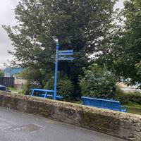
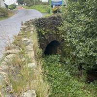
  • Starting in the centre of the village at the bridge where Glenelly Road meets the Culvacullion Road.

    Step 2: Starting in the centre of the village at the bridge where Glenelly Road meets the Culvacullion Road.

  • Keeping the river on your right, take right and walk along the Glenelly Road heading away from the village.

    Step 3: Keeping the river on your right, take right and walk along the Glenelly Road heading away from the village.

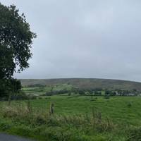
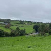
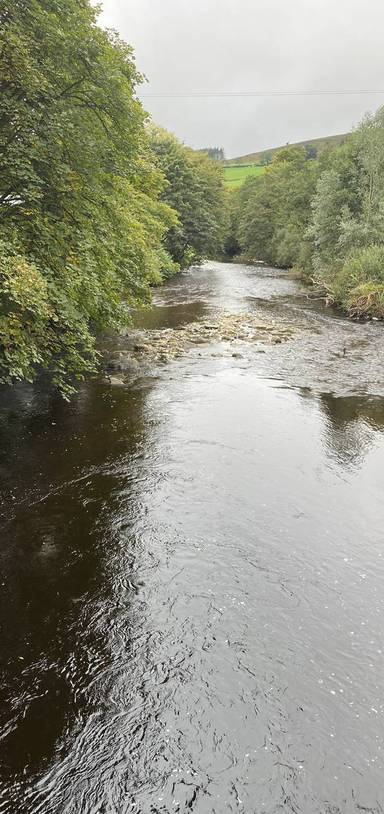
  • Very soon you will have left the village and enjoying the views over the Glenelly River.

    Step 4: Very soon you will have left the village and enjoying the views over the Glenelly River.

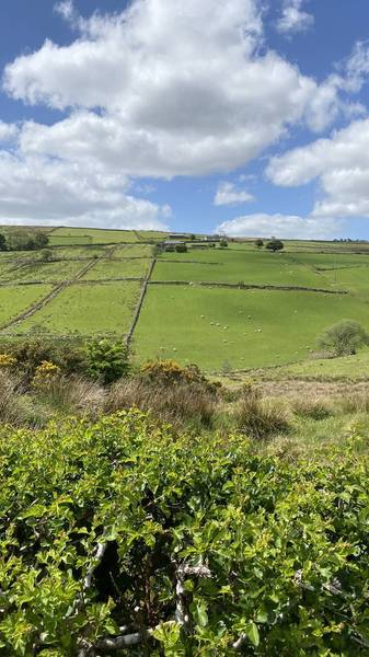
  • This river meets the Owenkillew River near Newtownstewart. The fields here are excellent for grazing cattle and sheep.

    Step 5: This river meets the Owenkillew River near Newtownstewart. The fields here are excellent for grazing cattle and sheep.

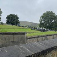
  • On the left you will pass Aughalane Cemetery.

    Step 6: On the left you will pass Aughalane Cemetery.

Download the app to get all the steps for this walk.

Nearby Walks

  • Preview of Plumbridge Clogherny Wedge Tomb

    Plumbridge Clogherny Wedge Tomb

    Plumbridge, Derry City and Strabane

    by enjoyheritage

    by enjoyheritage

    3 hours / 12.4km
    A stroll through the hills north of Plumbridge, Derry City and Strabane
    Wildlife Great views Picnic spot Parking History

Cookie consent

Using our site means you agree to the use of cookies and similar technologies.

Read more and how to disable cookies in our Privacy Policy