Plumbridge Clogherny Wedge Tomb

Walks, Northern Ireland, County Tyrone

Preview Steps

Download the app to get all the steps for this walk.

Map preview for Plumbridge Clogherny Wedge Tomb
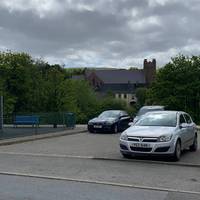
  • Starting in the middle of the town at the car park, walk along Main Road keeping the river on your right side..

    Step 1: Starting in the middle of the town at the car park, walk along Main Road keeping the river on your right side..

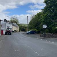
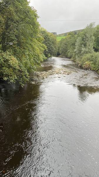
  • Follow the sign for Darperstown which takes you onto the Glenelly Road...which is next to the Glenelly River...

    Step 2: Follow the sign for Darperstown which takes you onto the Glenelly Road...which is next to the Glenelly River...

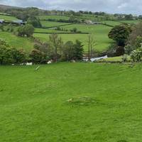
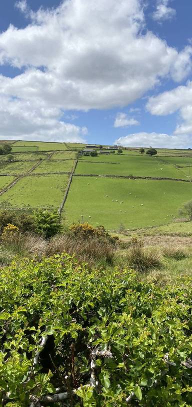
  • The valley is an excellent farming area...

    Step 3: The valley is an excellent farming area...

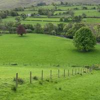
  • The hills in the distance to you right are the Sperrin Mountains where many rivers and streams start their journey...

    Step 4: The hills in the distance to you right are the Sperrin Mountains where many rivers and streams start their journey...

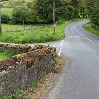
  • After approximately 1km you will cross a bridge and see the Bradkeel Road on your left. Take up the Bradkeel Road..

    Step 5: After approximately 1km you will cross a bridge and see the Bradkeel Road on your left. Take up the Bradkeel Road..

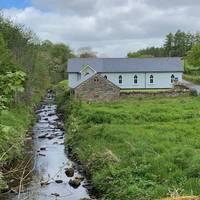
  • The building on the left beside the stream is Glenelly Presbyterian Church...

    Step 6: The building on the left beside the stream is Glenelly Presbyterian Church...

Download the app to get all the steps for this walk.

Nearby Walks

  • Preview of Plumbridge Drumnaspar Walk

    Plumbridge Drumnaspar Walk

    Plumbridge, Derry City and Strabane

    by enjoyheritage

    by enjoyheritage

    2 hours / 8.1km
    A circular walk along the Glenelly River valley from Plumbridge.
    Water feature Great views Picnic spot Parking Hilly & steep Botanics

Cookie consent

Using our site means you agree to the use of cookies and similar technologies.

Read more and how to disable cookies in our Privacy Policy