Gas Lamps & Cut Throats

Walks, England, Bristol

Preview Steps

Download the app to get all the steps for this walk.

Map preview for Gas Lamps & Cut Throats
  • Step 1: Being circular this walk and can be started anywhere along the route. The walk passes different bus routes making it easier to get to this walk by public transport. For up to date bus info & timetables go to www.travelwest.info

  • Step 2: On this walk you will encounter steps, some quite steep paths and some, often muddy and, slightly slippery ones. Good walking shoes are recommended.

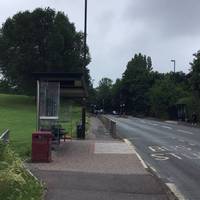
  • If you are starting from the Elmcroft Crescent bus stop on Muller Road walk up the hill

    Step 3: If you are starting from the Elmcroft Crescent bus stop on Muller Road walk up the hill

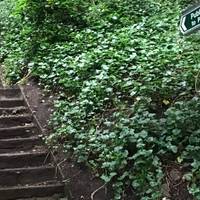
  • Just over the brow of the hill take these steps on your left hand side up onto Purdown

    Step 4: Just over the brow of the hill take these steps on your left hand side up onto Purdown

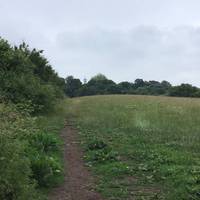
  • The tarmac path changes into a an unmade path. Keep straight heading towards the telecom tower seen in the distance

    Step 5: The tarmac path changes into a an unmade path. Keep straight heading towards the telecom tower seen in the distance

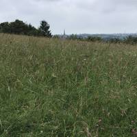
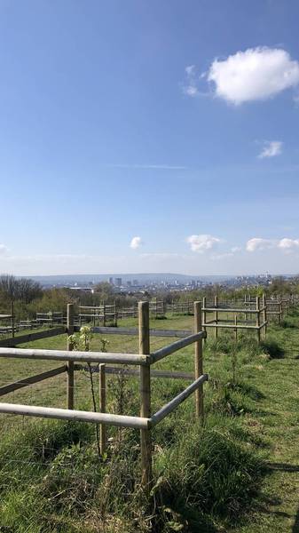
  • On the top of Purdown you can pause to look at the flora and fauna as well as the lovely views across the city

    Step 6: On the top of Purdown you can pause to look at the flora and fauna as well as the lovely views across the city

Download the app to get all the steps for this walk.

Nearby Walks

  • Preview of A Picturesque Purdown Loop

    A Picturesque Purdown Loop

    Lockleaze, Bristol

    by joffc

    by joffc

    45 minutes / 3.5km
    A stroll through Purdown in Lockleaze, Bristol. Amazing views with loads of lovely rest stops along the way. Why not bring a picnic?
    Wildlife Great views Public transport Picnic spot Dog friendly Child friendly
  • Preview of The Mina Road Tour

    The Mina Road Tour

    College Green, Bristol

    by travelwest

    by travelwest

    2 hours / 3.2km
    A local high street tour along Mina Road, showcasing lots of independent businesses to support along the way. Ends at a city farm and pub.
    Wildlife Wheel friendly Refreshments Public transport Child friendly Botanics
  • Preview of Alternative Bristol Trail

    Alternative Bristol Trail

    Ashley, City of Bristol

    by harryknight

    by harryknight

    45 minutes / 2.8km
    A tour around Ashley, one of Bristol’s most exciting council wards.
    Great views Picnic spot History Dog friendly Botanics
  • Preview of St Paul’s & Frome Valley Green loop

    St Paul’s & Frome Valley Green loop

    St Pauls, Bristol

    by joffc

    by joffc

    50 minutes / 3.7km
    A circular stroll through St Pauls in Bristol. Cafe, street art and lovely views on route.
    Wheel friendly Public toilets Refreshments Public transport History Child friendly
  • Preview of A Black History Tour in Bristol

    A Black History Tour in Bristol

    Montpelier and St Pauls, Bristol

    by travelwest

    by travelwest

    2hr 5m / 3.9km
    Discover some local Black history on this wander through the Montpelier and St Pauls neighbourhoods in Bristol. Refreshments en route.
    Refreshments Public transport History Hilly & steep Dog friendly Child friendly
  • Preview of Montpelier Station Loop

    Montpelier Station Loop

    Montpelier, Bristol

    by sstiles

    by sstiles

    28 minutes / 2.3km
    Explore Montpelier streets, enjoy lovely front gardens. Starting and finishing at the station.
    Public transport Hilly & steep Dog friendly Botanics

Cookie consent

Using our site means you agree to the use of cookies and similar technologies.

Read more and how to disable cookies in our Privacy Policy