Walking The Naze - Shorter Route
Walton-on-the-Naze, Essexby theessexcoast
by theessexcoast
1hr 30m / 6.4km 64
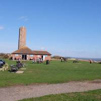
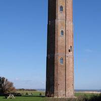
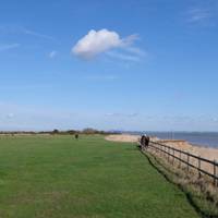
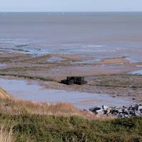
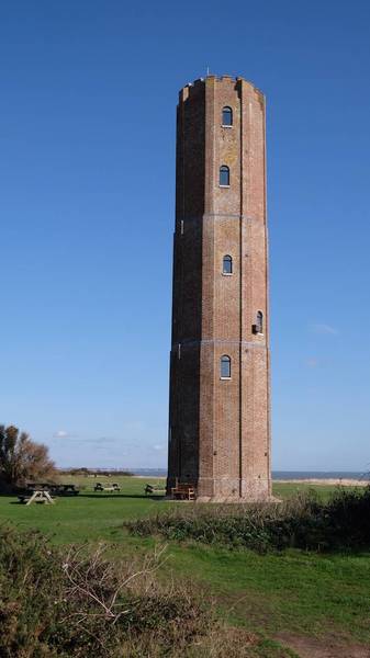
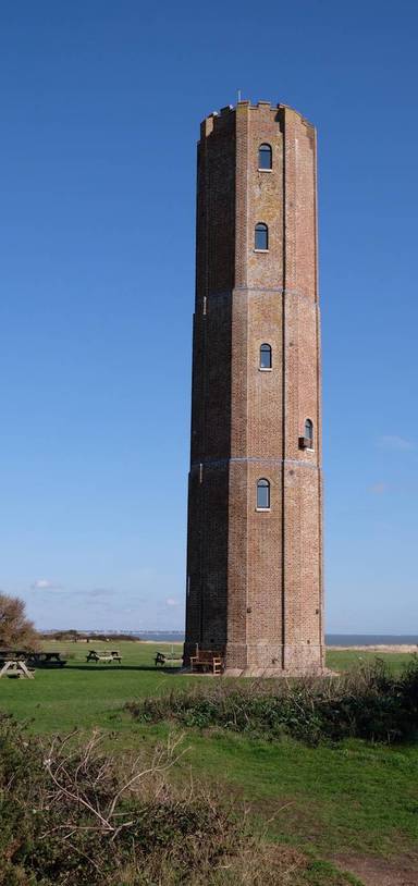
Enjoy history, nature, and sea views on this shorter circular walk around Walton-on-the-Naze.Ready for your next walking adventure?
Follow this route on the Go Jauntly app and make every walk simple, fun, and full of discovery. From photo-led guides to the best green routes from your doorstep, your next walk just got easier.
View in App
