Harlech Castle & the Steepest Road

Walks, Wales, Gwynedd

Preview Steps

Download the app to get all the steps for this walk.

Map preview for Harlech Castle & the Steepest Road
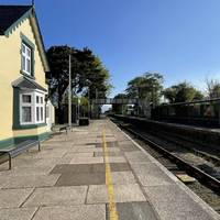
  • This walk starts at Harlech railway station, served by trains on the Cambrian Coast Line from Pwllheli to Aberystwyth and Shrewsbury.

    Step 1: This walk starts at Harlech railway station, served by trains on the Cambrian Coast Line from Pwllheli to Aberystwyth and Shrewsbury.

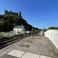
  • Leave the station by walking to the end of the platform.

    Step 2: Leave the station by walking to the end of the platform.

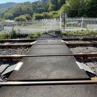
  • Then turn left to follow the path over the railway tracks. Stop, look and listen for trains before you do so.

    Step 3: Then turn left to follow the path over the railway tracks. Stop, look and listen for trains before you do so.

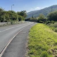
  • Cross Hwylfar Nant and turn left to walk along it on the other side.

    Step 4: Cross Hwylfar Nant and turn left to walk along it on the other side.

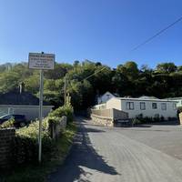
  • Turn right into Ffordd Pen Llech by the sign noting it is 'the world's steepest street'.

    Step 5: Turn right into Ffordd Pen Llech by the sign noting it is 'the world's steepest street'.

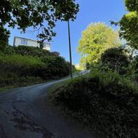
  • Follow the road up the hill. There is no footpath so take care.

    Step 6: Follow the road up the hill. There is no footpath so take care.

Download the app to get all the steps for this walk.

Nearby Walks

  • Preview of Castell Harlech a’r ffordd fwyaf serth

    Castell Harlech a’r ffordd fwyaf serth

    Cymuned Harlech, Gwynedd

    by transportforwales

    by transportforwales

    50 minutes / 2km
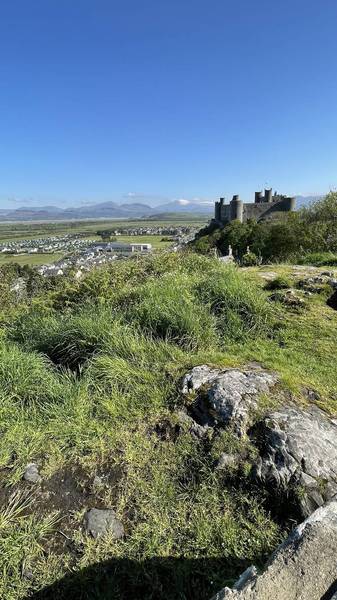
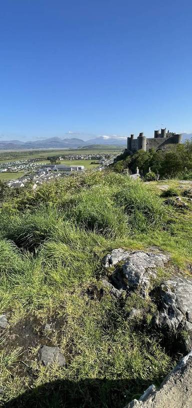
    Ewch i fyny’r ffordd fwyaf serth i bentref perffaith Harlech. Gyda golygfeydd godidog am yr Wyddfa yn ogystal â’r castell a siopau.
    Great views Refreshments Public transport History Hilly & steep Paid-for attraction

Cookie consent

Using our site means you agree to the use of cookies and similar technologies.

Read more and how to disable cookies in our Privacy Policy